If you are an adventure lover and wish to discover natural landscapes, in this article, we will explain the most outstanding hiking routes in the province of Valencia.
Key points
- Explore Valencia's stunning natural landscapes in a camper!
- From mountains to canyons, discover diverse routes for hiking enthusiasts.
- Experience the thrill of hiking surrounded by picturesque views.
- Dare to adventure and create unforgettable memories with #Vanyou in Valencia!
If you are an adventure lover and wish to discover natural landscapes, in this article, we will explain the most outstanding hiking routes in the province of Valencia.
Sierra Calderona Natural Park
The Sierra Calderona Natural Park Route is an exciting adventure for hiking and nature enthusiasts in Valencia. This route allows travelers to discover a beautiful and diverse natural park with stunning landscapes and abundant diversity.
The Sierra Calderona is a mountain range that starts from the north of Valencia. This protected area is a natural treasure and a refuge for a wide variety of flora and fauna.
Points of Interest:
- Difficulty level: The route offers trails of different difficulty levels, from easy routes to more challenging ones for advanced users. It is important to adapt the route based on each person's physical fitness.
- Length and duration: The length and duration of the Sierra Calderona Natural Park Route will depend on the specific route chosen. There are options for short routes of a few hours, as well as longer routes that can take all day.
- Starting point: One of the most common places to start is from towns near the park, such as Sagunto, Serra, Estivella, Gilet, or Náquera. The route can begin from viewpoints or points of interest near the park, allowing visitors to enjoy panoramic views before hiking on the trails.
Garbí Route
The Garbí Route, also in the Sierra Calderona Natural Park, is one of the most emblematic trails in Valencia. This mountain route offers hikers a unique experience, allowing them to enjoy breathtaking natural landscapes and panoramic views of the Valencian coast.
Garbí Route Details:
- Difficulty level: It is a challenging route that requires hiking experience and good physical condition. The trail includes steep and rocky sections, as well as a fairly inclined ascent.
- Length and duration: The Garbí Route can have different lengths depending on the chosen variant, but the average is about 12-15 km (round trip). The hike can take between 4 and 6 hours, depending on the pace and the stops made during the journey.
- Starting point: The most common starting point for the Garbí Route is the Mirador del Garbí, in Serra. To reach the viewpoint, one can access by vehicle or use public transportation from Valencia or nearby towns.
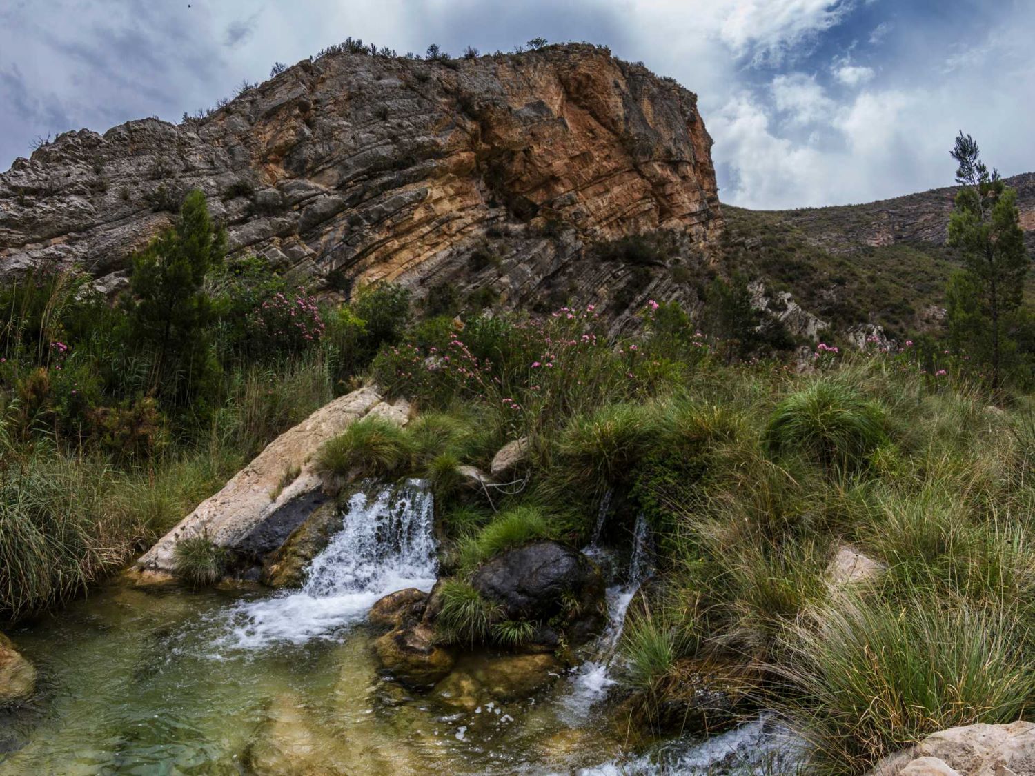
Chulilla Hanging Bridges Route
The Chulilla Hanging Bridges Route is an impressive trail that crosses the Turia River canyon, providing hikers with a unique nature experience. You can finish the route at "Charco Azul," a reservoir where you can swim and spend a day surrounded by nature.
Route Details:
- Difficulty level: Moderate, making it accessible to most hikers, including families with children. However, caution is advised as the terrain can be uneven and steep in some parts.
- Length and duration: The route is approximately 10 kilometers long (round trip). The hike takes 3 to 4 hours, depending on the pace and the time spent appreciating the landscapes and bridges.
- Starting point: The most common starting point for the Chulilla Hanging Bridges Route is the center of the town of Chulilla. From there, hikers will follow the signs to reach the bridges and enjoy the journey.
Chera - Sot de Chera Route
The Chera - Sot de Chera Route is a fascinating trail for hiking and nature lovers in Valencia. This region is known for its natural environment, with mountains, rivers, and valleys.
This circular route starts in the town of Chera and takes you through canyons and forests until you reach the Buseo Reservoir. Along the way, you can enjoy waterfalls and landscapes that lead to a wonderful scenery.
Route Details:
- Difficulty level: The route is suitable for most hikers, both beginners and more advanced and experienced hikers.
- Length and duration: The route is between 8 to 10 km (round trip). The hike can last between 3 to 4 hours, depending on each person's pace and the number of stops made.
- Starting point: The most common starting point for the Chera - Sot de Chera Route is from the town itself. From there, hikers will follow the signs to enter the trail and enjoy nature.
Benagéber Reservoir Route
The Benagéber Reservoir Route is an exciting outdoor adventure in Valencia. This path is ideal for nature lovers. You can explore the Benagéber Reservoir and enjoy panoramic views.
Route Details:
- Difficulty level: The route is easy for many hikers, including families with little hiking experience.
- Length and duration: The route is 8 to 10 km (round trip). The itinerary takes 2 to 3 hours, depending on the pace and physical fitness of each person.
- Starting point: The most common starting point for the Benagéber Reservoir Route is the same town. From there, hikers can follow the signs to access the trail and surround the reservoir.
Conclusion
Valencia is much more than sun and beach; it has beautiful natural landscapes to discover while hiking, from natural parks to trails. While the coast is undoubtedly one of its main tourist attractions, the inland areas of the province with abundant vegetation offer tourists year-round enjoyment.
Get ready to immerse yourself in the magic of Valencia while exploring unforgettable places with your #Vanyou camper ✌️!